10 Major Cities Where Car-Free Streets Are Popping Up
An increasing number of cities are shifting away from car-first thinking and reclaiming streets for people. Apart from cutting traffic or lowering emissions, it’s changing how neighborhoods function. By removing cars from key areas, cities are creating space for safer walks, easier bike rides, and improved access to parks, shops, and schools.
The results vary, but they all reflect a shift in how cities define access, movement, and public life.
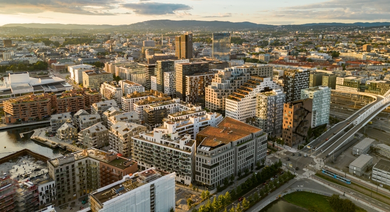
Oslo, Norway
Credit: Getty Images
Downtown Oslo looks different from how it did a few years ago. Over 700 spots once reserved for cars are now dedicated to pedestrian areas, bike paths, and public benches. The city shut down through-traffic (some vehicles, such as deliveries and emergencies, are still allowed) and invested heavily in trams and buses to fill the gap.
Paris, France

Credit: pexels
Paris pushed cars out of many central streets and rerouted traffic to major avenues. Many central streets are now walk-only or bike-priority. The city’s “garden streets” initiative is still expanding to reshape daily commutes and encourage public life. Even the riverfront, once lined with vehicles, now hosts picnics and performances.
Madrid, Spain

Credit: pexels
Madrid restricted cars in a 500-acre zone and redesigned dozens of major streets to prioritize walking and public transportation. Officials initiated enforcement measures with fines and increased parking fees for polluting vehicles. Car use is expected to drop as daily life shifts away from private driving.
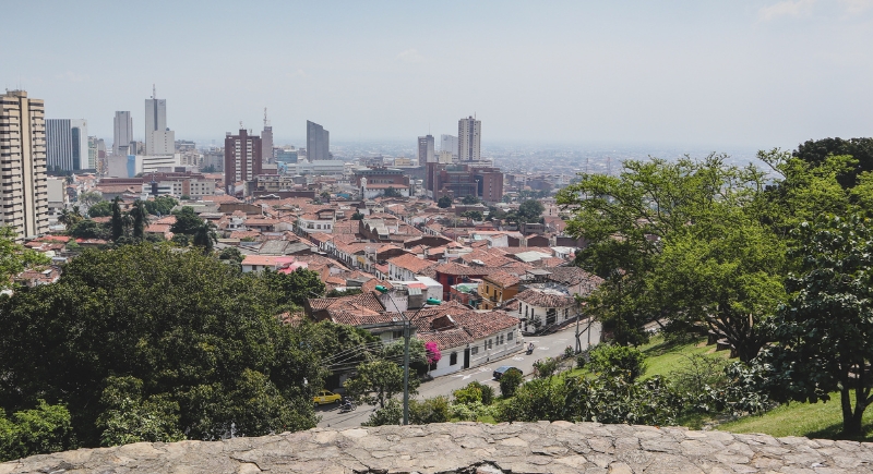
Bogotá, Colombia
Credit: Getty Images
Every Sunday, over a million people pour into Bogotá’s car-free streets. The trend began decades ago as a small protest against car dominance and has evolved into Ciclovía, a weekly citywide event where bikes, rollerblades, and walking shoes replace cars. It’s temporary, but it’s reshaped urban planning and public expectations all week long.
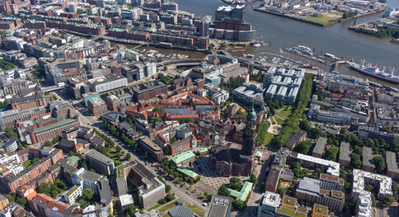
Hamburg, Germany
Credit: Getty Images
Cars still exist in Hamburg, but the city’s green network makes them increasingly unnecessary. The city has an interconnected system of parks, bike routes, and plazas designed to span nearly 40% of the city by 2035.
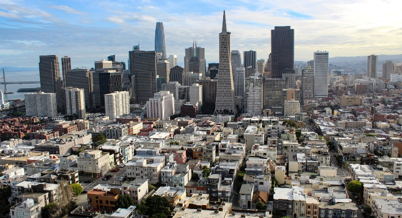
San Francisco, California
Credit: Getty Images
Developers built San Francisco’s Mission Rock district with walking in mind. The waterfront neighborhood includes eight acres of public space, wide walkways, and quick connections to ferries, trains, and streetcars.
Dubai, United Arab Emirates

Credit: Getty Images
Heat hasn’t stopped Dubai from planning a massive pedestrian network. Over 4,000 miles of walkways, many of which are shaded and/or cooled, are in development to connect key parts of the city. The Future Loop, an elevated walking route, will link major landmarks while staying usable even during the hottest months.
Chengdu, China

Credit: Getty Images
In one of Chengdu’s newer districts, no destination is more than 15 minutes on foot. Planners cut vehicle access in half and built services close to homes, such as schools, clinics, and shops. The aim is to design neighborhoods that don’t rely on cars in the first place.
New York City, New York

Credit: pexels
NYC’s walkability, which started with the High Line, has turned into a movement. New York continues to convert underused roads and infrastructure into pedestrian zones. The newest project, Future of Fifth, will expand sidewalks between Central Park and Bryant Park. The city adds walkable space block by block.
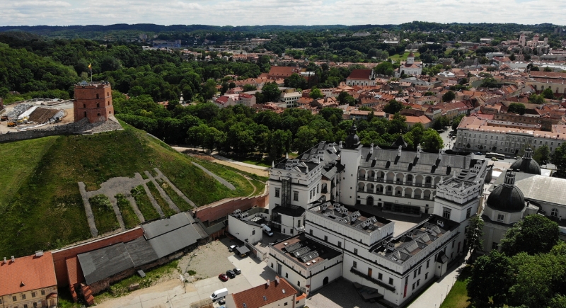
Vilnius, Lithuania
Credit: Getty Images
Small changes added up fast in Vilnius. The city adjusted traffic signals to reduce pedestrian wait times, expanded bike paths, and redesigned intersections to prioritize walkers. These updates restructured the way people move around.