10 Most Dangerous Hiking Trails in the Grand Canyon
The Grand Canyon may appear calm from above, but its trails can turn treacherous quickly. Beneath those layered cliffs lie paths that push hikers into extreme heat and brutal elevation changes. People often underestimate these routes, then find themselves hours from help. This list highlights 10 of the Canyon’s most dangerous hikes.
Nankoweap Trail
Credit: Wikimedia Commons
With no shade, no water, and no mercy, Nankoweap drops over 5,600 feet from rim to river. It’s the longest unmaintained trail in the park and barely resembles a path at all in places. Heat exhaustion is the top threat here, not falling, though the narrow ledges don’t help.
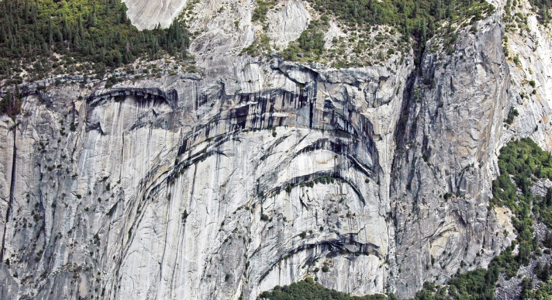
Royal Arch Route
Credit: Wikimedia Commons
The Royal Arch is hard to find and even harder to finish. The route crosses talus slopes, requires a 20-foot rappel, and forces hikers onto a 10-inch-wide ledge with a sheer drop below. This remote loop spans approximately 35 miles and requires advanced climbing and route-finding skills.
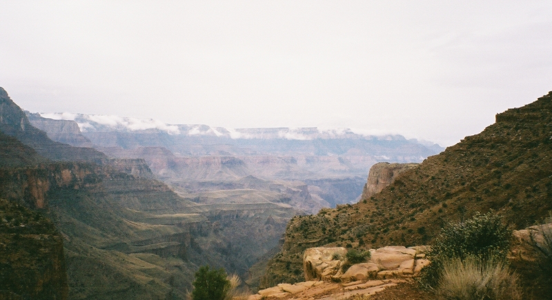
Bright Angel Trail
Credit: Wikimedia Commons
It looks easy at first glance, and that’s the trap. Temperatures near the bottom often top 110°F, and rescues are typical. Park signs warn that “down is optional, up is mandatory,” and the canyon doesn’t forgive those who ignore the advice.
Cheyava Falls via Clear Creek
Credit: Youtube
Cheyava Falls is one of the Grand Canyon’s most elusive waterfalls, flowing only after substantial rainfall. It’s located deep in the Clear Creek drainage on the canyon’s north side, far from corridor trails. Reaching it requires strong navigation skills, long mileage, and a solid backcountry plan.
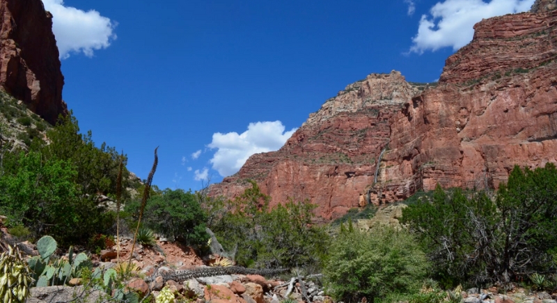
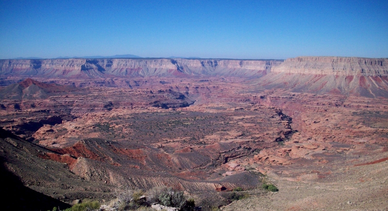
South Bass Trail
Credit: Facebook
South Bass demands a long, bumpy drive before the hike even starts. The trail itself climbs over 4,400 feet with limited water and zero ranger support. Hikers sometimes stash gallons of water halfway up the trail just to avoid dehydration on the climb out.
Lava Falls Route
Credit: Wikimedia Commons
There is no official hiking trail to Lava Falls itself, but the surrounding terrain is among the canyon’s most rugged. Access comes from steep, unmaintained routes near Vulcan’s Throne, often used by experienced river runners rather than day hikers. Loose volcanic rock and extreme heat make this area physically unforgiving.
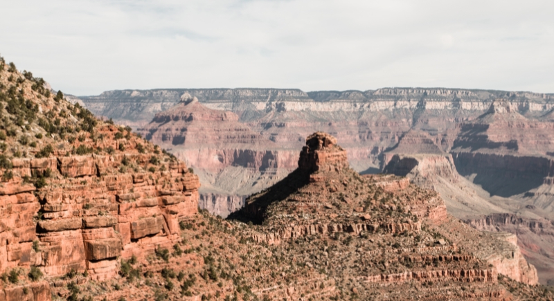
Tanner Trail
Credit: Wikimedia Commons
Tanner Trail is exposed and unforgiving. The descent alone is over 9 miles to the river, and the return climb feels never-ending under direct sunlight. Reliable water sources are scarce, and much of the route traverses bare rock slabs and ridgelines where there is little to no natural cover from the sun.
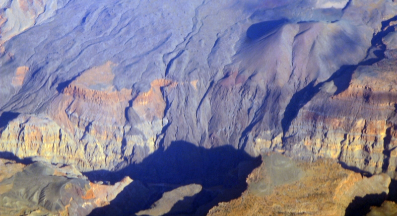
Kanab Creek
Credit: Wikimedia Commons
It’s not the hike itself that’s dangerous. It’s how remote and maze-like Kanab Creek becomes. The multi-day route passes narrow slot canyons, dry washes, and tangled terrain that can confuse even seasoned hikers. Flash flood risk is high, and one wrong turn can result in extra days in the canyon without help.
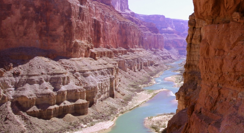
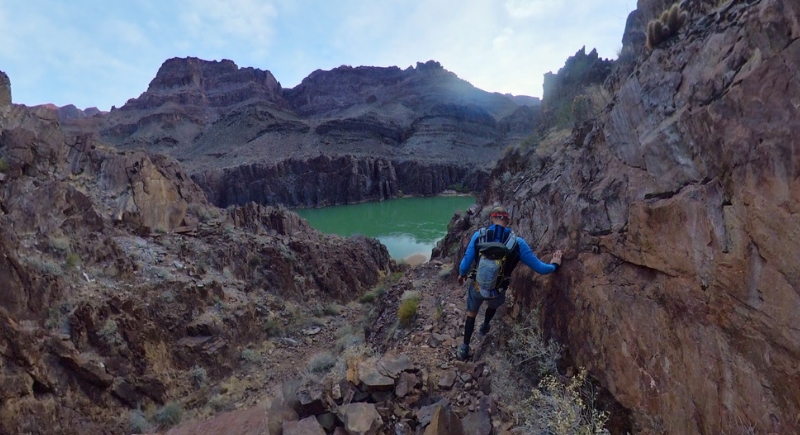
Beamer Trail
Credit: Reddit
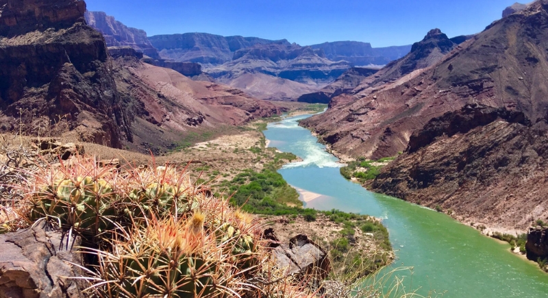
Beamer follows a shelf above the Colorado River and connects with other rugged routes in the eastern canyon. It’s not steep, but it is exposed and thin, with unprotected drop-offs. The trail is built more by use than by trail crews, so it can disappear in places.
Little Colorado River Gorge
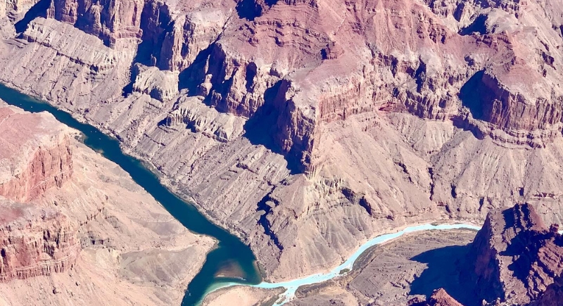
Credit: Instagram
The turquoise water makes it look tempting, but this side canyon is no substitute for Havasupai. Access is off-trail, permits are required from the Navajo Nation, and flash floods come without warning—sometimes triggered by storms 100 miles upstream. Casual hikers shouldn’t consider it.