
Use a vintage timetable to spot the forgotten junctions, museum sheds, and station-walk loops a modern route planner skips.
Start with the timetable, not the track line
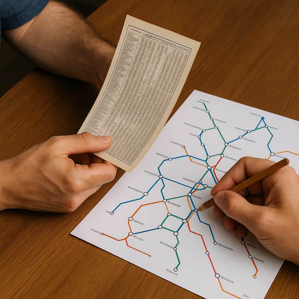
Most people start a rail trip by staring at a modern network diagram and then arguing with themselves about which big city deserves two nights. I get way better cultural days when I start with a paper timetable from the era the line was built up to serve. Not a pretty poster map, a timetable: the foldout kind where towns are squeezed into columns, and the time-of-day tells you what the railroad thought mattered.
Here's the move. Find a public-domain timetable or company guide (railway museum archives, national library scans, even old guidebooks that include train tables). Print the one page for your corridor and put it next to a modern rail pass map. The goal is not to reenact 1912 minute-for-minute. The goal is to identify which places were once junctions, refreshment stops, or end-of-line service towns. Those stops are worth researching for surviving station districts, railway museums, historic commercial streets, or other traces of the traffic that once passed through.
I mark three things with a pencil on the printout: named junctions (where tables split), service notes (refreshment rooms, baggage checks, dining cars that start or end), and oddly long layovers, which can be clues worth investigating because they may reflect connections, servicing, or the station's former operational importance. Then I cross-check each candidate stop against current Street View imagery and the station's present-day role. If it's still an active station, great. If it's a preserved station with a new use, that's often even better: you can feel the old plan in the building even when it's a cafe or a community arts hall. A multi-stop pass can make this kind of planning easier, especially on reservation-free regional routes, because several smaller junction towns can fit naturally into the same trip.
Hunt for the vanished branch line from one platform
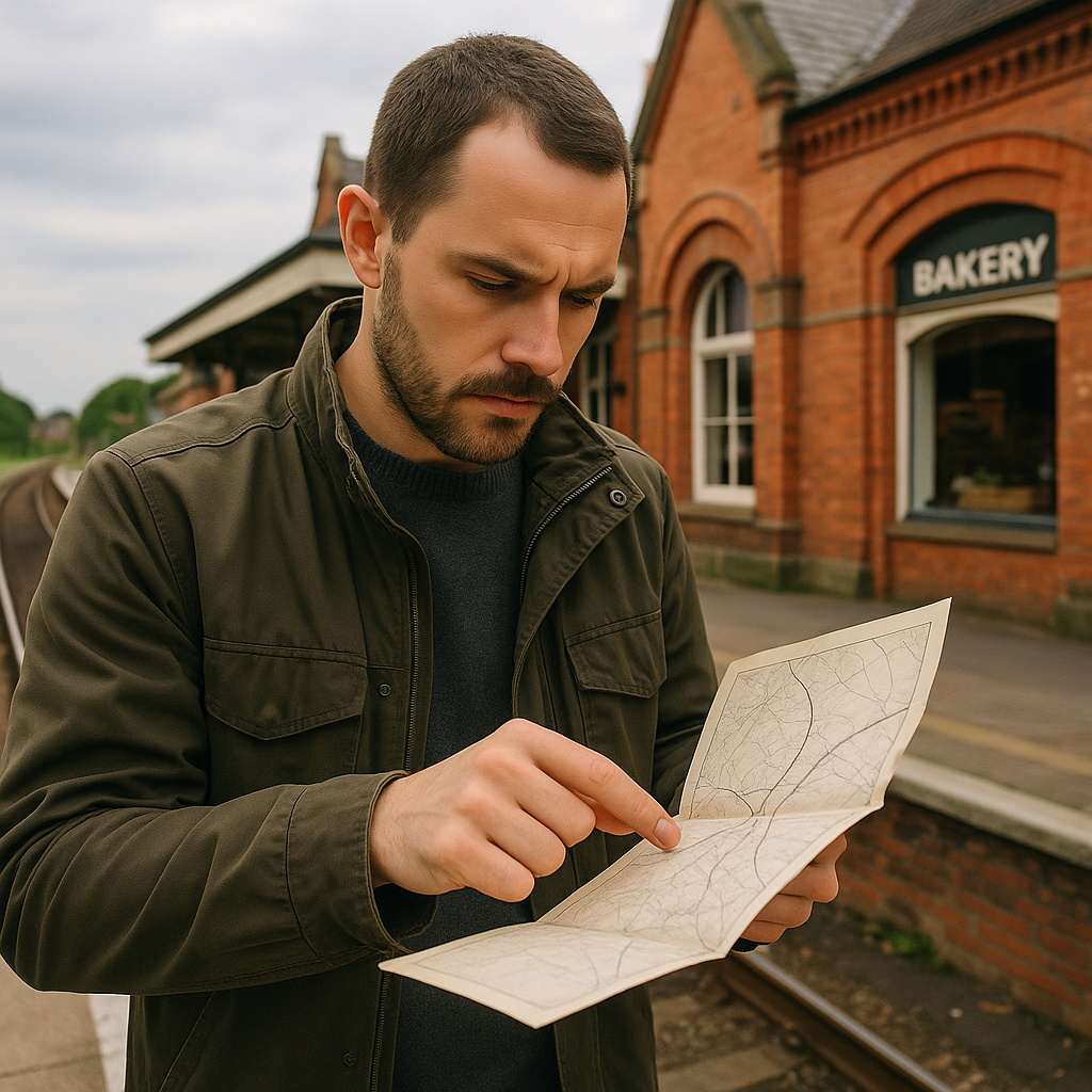
Vintage railway maps love a thin little spur that no longer exists. On a modern planner, that vanished branch is invisible, so you never think to get off in the town that once fed it. But on the ground, the traces are still there: a freight shed turned into a bakery, a too-wide street that used to be the approach to the goods yard, a park that is suspiciously straight because it used to be trackbed.
I plan one stop on every rail pass trip around a ghost line, and I do it in a very specific way: I pick a current station that is still on the main line, but that the old sheet shows as the junction or the gateway. Then I build a walking loop from the platform that follows three clues from the historic map.
- Station frontage: Old maps often label the square, the cab stand, or the hotel opposite the station. Even if the hotel is gone, the geometry usually isn't. Start there, and you'll immediately feel whether the town was built to receive arrivals.
- Industrial labels: Look for printed words like "works," "mills," depot, coal, or a dock basin. You're not going to trespass. You're going to see which buildings survived and which got repurposed. That's where local history tends to be posted on plaques nobody reads because they're not near the cathedral.
- Right-of-way shape: A curve that makes no urban-planning sense is often the old track. On foot, the old alignment may survive as a greenway, a service road, a property boundary, or an unusually persistent curve through the street pattern.
This is where multi-stop passes can be especially useful for cultural travel. If your only goal is to arrive, a ghost line is trivia. If your goal is to understand why a town looks like it does, a ghost line is the reason. And because you're already holding a pass, changing plans can be easier on routes that do not require reservations. Just check the next train first, since many high-speed and night services require separate paid reservations.
The station-name mismatch test
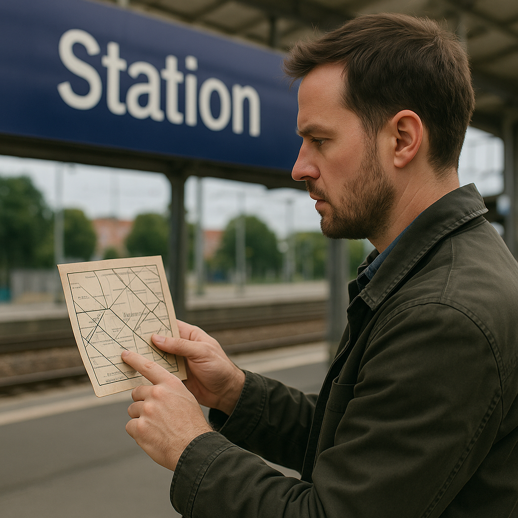
One of my favorite tells on a vintage sheet is a station name that feels slightly wrong compared to what the town calls itself now. Maybe the old map uses a district name, a river name, or a hyphenated double-town label. Maybe the modern station is called Central or Hauptbahnhof, and the old one isn't. That mismatch is not pedantic trivia. It's a fast way to pick stops where you can feel the layers without needing a guidebook that weighs as much as your shoes.
I do a quick three-step check before I commit a pass day to the place. First, I write down the exact old station label and the nearest two labels printed along the line. Second, I search the old label alongside words like station, railway, and company, which can help explain when and why the name changed. Third, I look for where the old station sat if the modern one moved. Stations can be relocated due to grade separation, new tunnels, or route realignments, leaving older station buildings available for entirely different uses. Those are gold, because you can walk through a functioning civic space while still seeing the bones of a rail era waiting room.
On the ground, I make it tactile. I take a screenshot of the vintage map label and stand in front of the current station sign to compare them. Then I walk the most direct route to whatever the town now treats as its center. If the station name used to point at something else (a port, a spa district, a factory quarter), you can often feel the shift in ten minutes: the center you walk toward now isn't the one the railway served first.
This is also an easy way to justify extra stops without padding the trip. You're not hopping off just to say you did. You're hopping off because the map says the place used to function differently, and you want to see what replaced that function. With a multi-stop pass, you can stack two of these name-mismatch towns in one day and end up with a tighter cultural story than you would by sitting in one city and scrolling for top things to do.