
A practical way to trace old freight routes and spot the industries, foods, and trading patterns that still shape rail corridors today.
Start with a freight ledger, not a tourist route
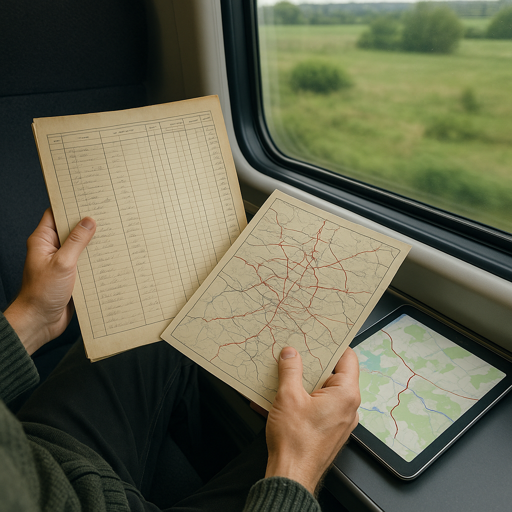
If you want to see how older trade and freight routes shaped the railways that followed, skip the pretty heritage posters and pull up something that feels boring on purpose: a cargo ledger, a historical rail atlas scan, or even a timetable that still lists freight sidings. I do this on the same screen as a modern basemap so that I can toggle between them. The moment it clicks is when you stop thinking in terms of scenic stretches and start thinking in terms of what moved: salt, tea, wool, timber, ore, fish, ceramics, citrus. Those commodities leave fingerprints that linger long after the wagons have changed.
Here is the practical workflow I use before I ever buy a ticket. First, I drop three pins: the port, the market town, and a mountain pass or river crossing that may have helped shape the route. Then I trace the gentler gradients the railway might have favored, keeping in mind that engineering costs, land ownership, existing settlements, bridges, tunnels, and commercial priorities could also determine the route. That may lead you through valleys, saddles, and long detours that make more sense once you consider the engineering and commercial demands behind the route.
Once I have that line sketched, I look for two things that still show up today: place names that reference goods (saltworks, mill, tannery, granary, quay, depot) and clusters of parallel infrastructure (canals, caravan roads, old highways) that run suspiciously close to the tracks. When you see that stack, you are not just riding a train. You are crossing a working seam in the landscape.
My favorite part is how this changes what you notice at the station. Freight sidings, warehouses, loading areas, and produce markets near a station can point toward its commercial role. However, I check historical maps before assuming that today's activity reflects the railway's original purpose. You end up reading the surroundings like a legend. And yes, I still get it wrong sometimes. When I do, it is usually because I assumed the modern city center is the old trading heart. It often is not. The old exchange point might be a few stops earlier, where the river is shallow, and the warehouses still stand.
Trace salt and iron through the freight record
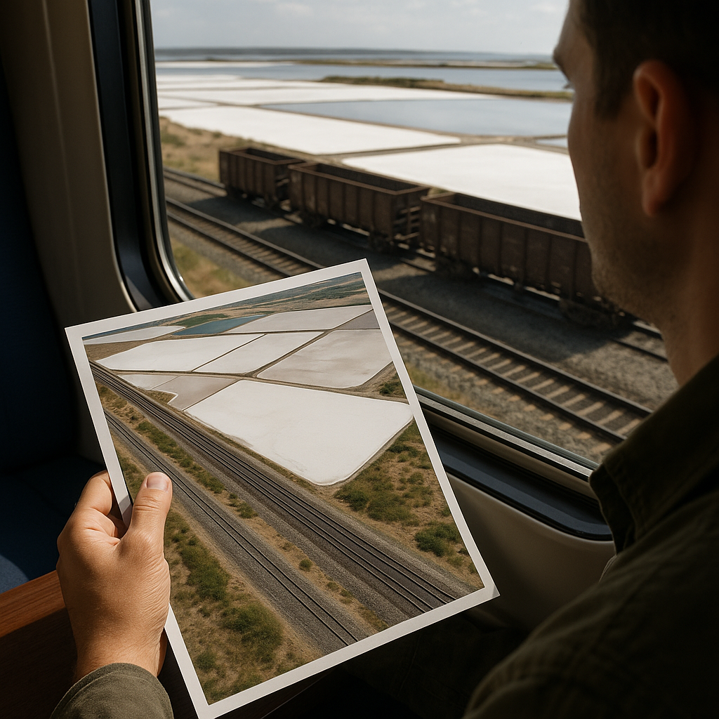
I have a soft spot for rail corridors where historical records show commodities such as salt, iron, or grain moving between production areas and inland markets. You can map this without inventing a single romantic story. Solar salt production can leave obvious features such as shallow evaporation ponds, while historic maps and records can help identify storage and transport infrastructure.
On satellite view, I look for geometric evaporation ponds, bright white crusts, or long straight levees near the coast or an inland lake. Then I zoom out until I can see how the rail line chooses its approach. If the tracks approach the ponds before turning toward a river valley, that pattern is worth investigating in historical rail maps, freight records, or local archives; geography alone cannot confirm what commodities the line originally carried. The fun part is ground-truthing it from the train without getting precious about it. When the light is right, salt infrastructure is almost too obvious. The ponds flash, the berms cast sharp shadows, and nearby service roads can make the industrial layout easier to read from above.
What makes this a living-traditions ride, not a museum lecture, is what happens at the stops. If a station sits a little too far from the tourist center, it is worth checking what sits on the other side of the tracks. I have walked out of stations expecting little and found weighbridges, storage areas, market stalls, and other signs that the district still has a commercial life beyond passenger traffic. You can see the exchange logic in the food, too. Salt historically made foods such as cured meat and salted or dried fish easier to preserve and trade, so that local food history can offer another clue. However, any connection to a particular rail corridor needs to be verified.
One concrete trick: mark the old depots and sidings, not just the passenger stations, in your route planner. Even if you never get off there, old depots and sidings can offer clues about why certain parts of the route developed as they did. And if you do hop off, you will have a better idea of whether the stop historically served a port-adjacent trade zone, a river transfer town, or a mountainside distribution point. That is the difference between staring out the window and understanding why the landscape looks organized the way it does.
Follow the Tea-and-Textile Clues in Station Signage
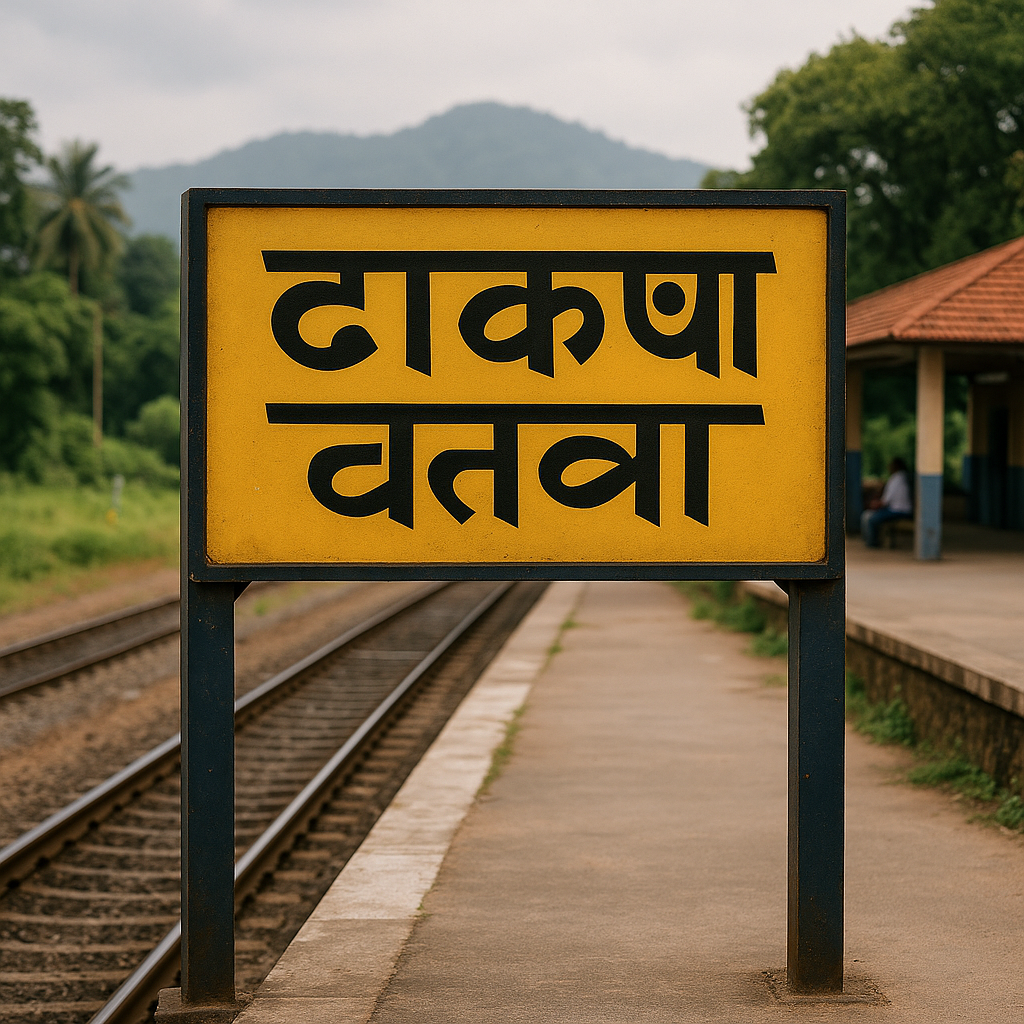
Not every trade route announces itself with a ruin or a plaque. Tea-and-textile history can hide in plain sight, including in station and place names that preserve traces of older industries. This is where I lean hard on OpenStreetMap layers and local transit diagrams because they keep small place names visible. Those smaller place names can reveal details that big-city endpoints miss.
Before a trip, I scan the line for repeated industry words: mill, weave, dye, loom, silk, tea garden, auction, warehouse, spinning. You do not need to be a linguist. You just need to notice patterns. If several nearby stops share an industry-related word or root, I treat it as a research clue rather than proof and check the naming history before concluding. Then I cross-check with terrain. Tea districts often reflect particular combinations of rainfall, drainage, elevation, soil, and climate, while historic textile centers frequently developed around waterpower, transportation links, labor, and access to raw materials. When the line threads through a humid valley, clips the edge of a foothill zone, and passes canals, I have another set of clues to check against the area's industrial history.
On the train, I do a simple thing that keeps me from dissociating into a scroll hole: I write the station names in a notes app in the order we hit them, and I add one concrete observation next to each. Not a feeling, a thing. Steam rising from a dye house yard. A cluster of small trucks loaded with bales. A hillside patterned with rows that look like agriculture, but not quite like corn. The list turns into a little corridor map of its own, and it is way more honest than the photos that all look identical later.
If you have time for one stopover, pick the town with the smallest station that still has a busy forecourt. A busy forecourt at a small station may be worth investigating for local commercial activity, but station size alone does not establish that goods are being transferred there. A storefront mix that includes industrial repair shops, wholesalers, or packaging suppliers can provide another clue about the area's present-day commercial activity. Back on the train, watch for changes in the landscape beyond that station. Old trade routes often connected places with different commercial and geographic roles.