
Three pilgrimage walks where old cartographic habits, from rhumb lines to manuscript margins, change what you notice under your feet.
Follow the rhumb lines on the Via Francigena
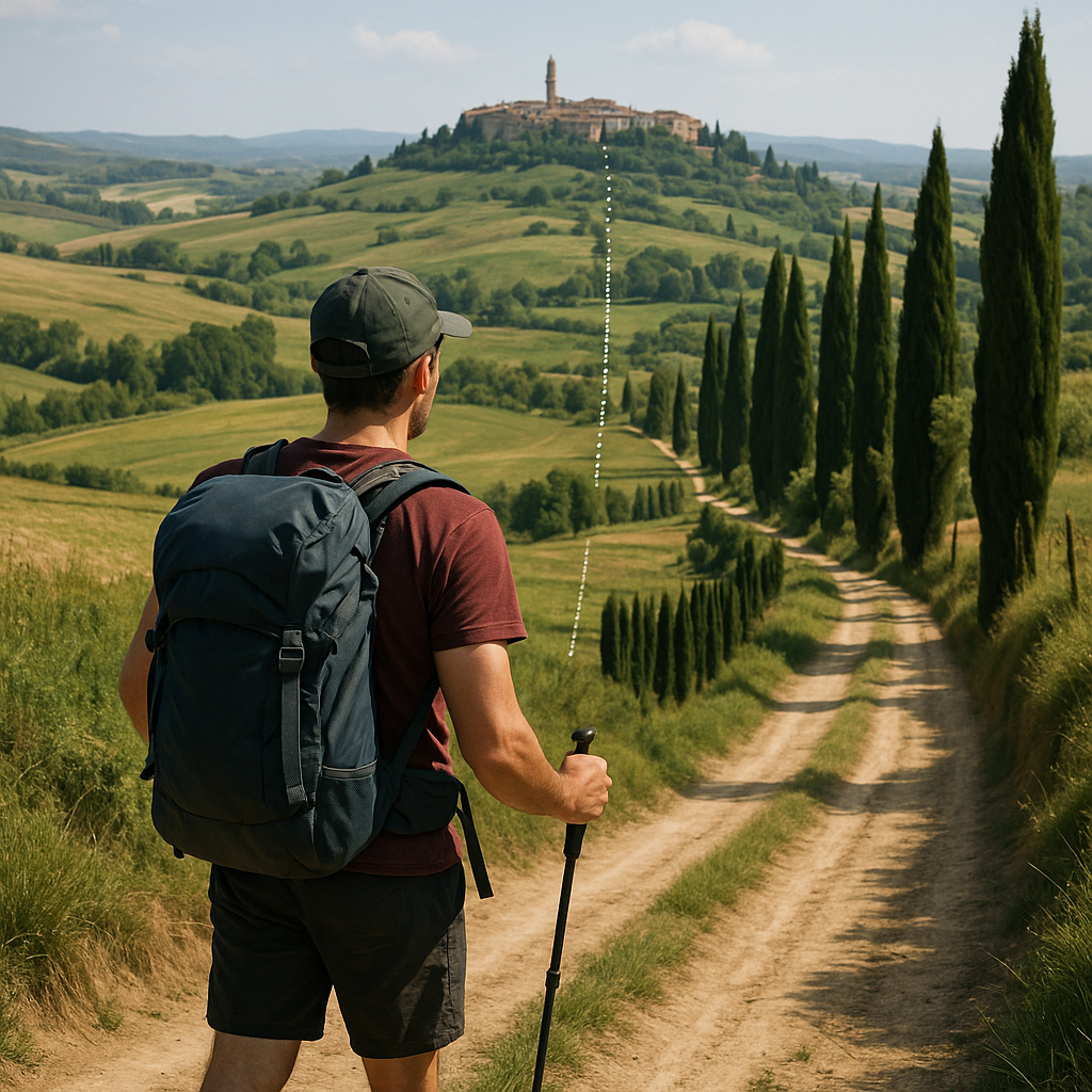
I keep coming back to the Via Francigena because it behaves like a map argument you can settle with your legs. Medieval portolan charts were built for mariners who wanted bearings they could hold, so you get those radiating windrose spokes and rhumb lines cutting the coast into confident, ruler-straight intent. Put that habit onto a pilgrim route, and it does something useful: it makes you notice where the line wants to go versus where the road is willing to let you.
Try this on a stretch where the route is well waymarked, like the approach to Siena or the long agricultural trudge north of Rome. Before you start walking that morning, open a simple base layer that shows both modern roads and the land's shape, then draw an imaginary straight line from your start to your end, as a portolan navigator would. Don't follow it. Just hold it in your head as a stubborn reference. You'll feel the route constantly negotiating around ridges, private fields, rivers that only have bridges where the engineers felt like it, and towns that still sit where the older logic put them.
There's a specific moment I love: you can often see the destination on a clear day, but the path keeps ducking away into a hollow or behind a line of cypress, and you start to understand why bearings were so visually prominent on old nautical charts, even though navigators also measured distance. On foot, the straight line becomes a story generator. Why does the road refuse the obvious? Who owned the land? Where was the safe ford? Why did the settlement choose that crest instead of the easier valley floor? By the time you reach the next pilgrim albergue, the route feels less like a string of GPX breadcrumbs and more like a set of compromises preserved for a thousand years.
The Compostela marginalia game on the Camino
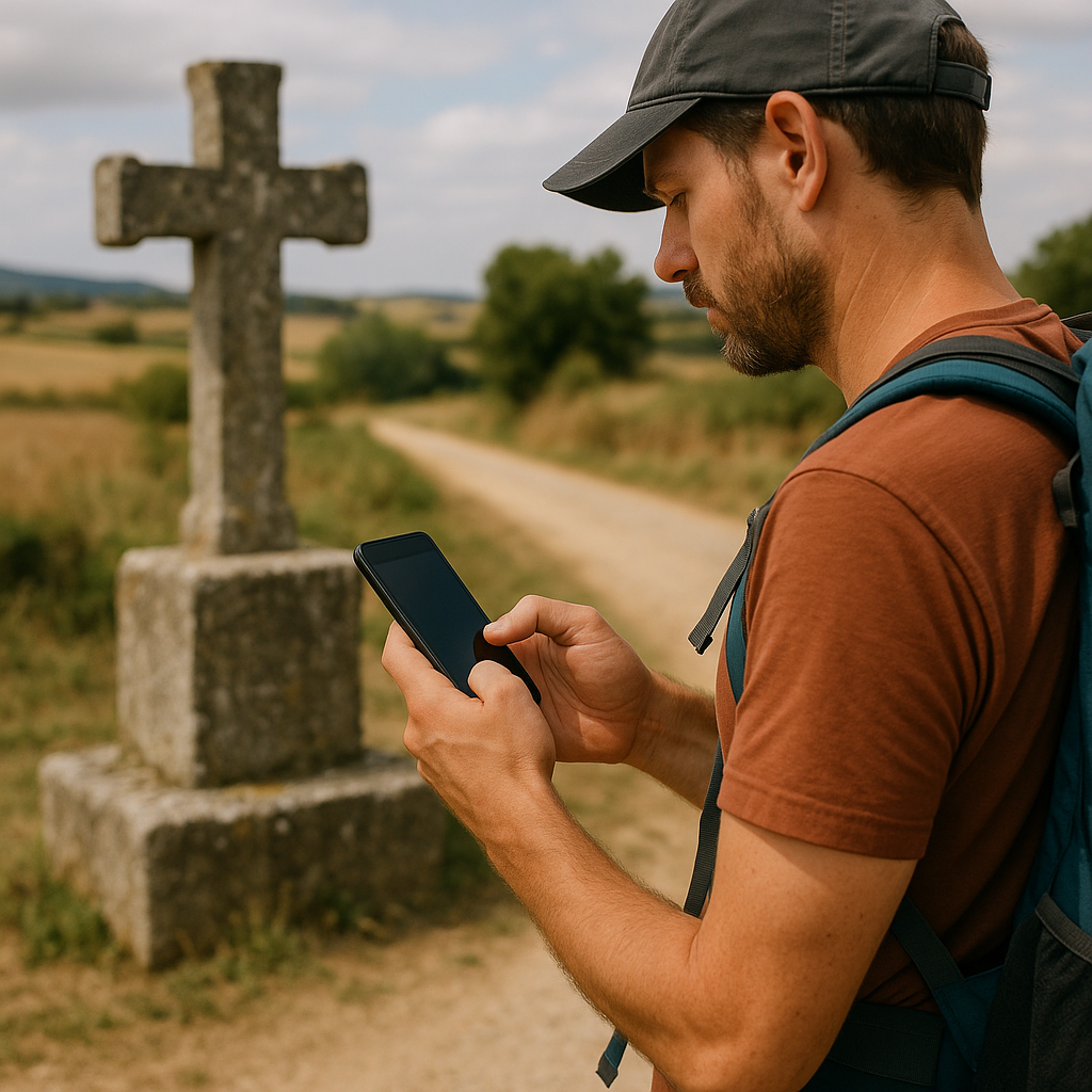
Most people walk the Camino with a strip-map mindset: town, bar, stamp, bed, repeat. That's not wrong, but it can flatten the thing into logistics. One old-world cartography move that snaps it back into texture is to treat the route like a manuscript page, with the margins as the places where the personality leaks out. Medieval and early modern travel knowledge lived in glosses, warnings, and little side notes that never made it into the neat center text. So I do a marginalia pass every day, and it changes walks that would otherwise just be long.
Here's how it works in practice on the Camino Frances. Pick a single trigger for the day. Mine is roadside crosses, fountains, and odd little boundary stones, because they behave like the scribbles at the edge of a map sheet. When I see one, I stop for sixty seconds and make a tiny note in my phone that starts with the object, not the feeling: "granite cross with a chipped arm," "fountain with a scallop shell carved into the lip," "milestone reused as a gatepost." Then I add one line about placement: on a bend, at a parish border, outside a churchyard wall, right where two tracks split. That second part matters. Marginal notes are about context.
By day three, patterns show up. I start noticing where crosses appear before descents and where fountains interrupt long stretches of walking. Sometimes the placement feels meaningful, even when I can't know whether that was the original intention. Some stones look like they were re-cut from something older, and you start asking what the older thing was. On the Meseta, where the landscape can feel like a single setting, the margins become your proof that the route has been read and re-read by generations of walkers.
And yes, you can do this without turning the day into homework. The trick is that the notes are short, and they're anchored to what your eyes already have to scan for (water, junctions, shelter). Later, when you flip back through them, you don't just remember towns. You remember the edge-of-page details that made each day distinct.
Scale lies on the Kumano Kodo, so use it
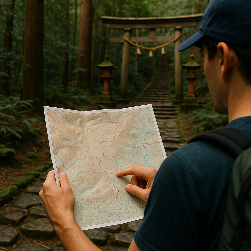
If you want to feel an old cartography technique in your bones, walk the Kumano Kodo and pay attention to scale. Not the printed scale bar, the psychological one. Some pre-modern maps gave important sacred or political places greater visual prominence than geographic scale alone would suggest. Pilgrimage routes love that kind of distortion because devotion has its own geometry. The Kumano Kodo is a perfect place to notice it because the trail constantly alternates between intimate forest walking and sudden, formal sites that feel as if they've been placed with intention.
I plan a day here using two layers of expectation, and I let them disagree. First, I look at the modern track for total distance and elevation, so I'm not delusional about time. Then I make a second, deliberately old-fashioned plan: I pick two or three named places that feel like they'd be "enlarged" on an old sheet. A major shrine approach, a famous pass, a river crossing where routes braid. Those become my anchors, not the kilometer count.
On the ground, you can watch your brain create the same kind of distortion found in some medieval and early modern maps. A shaded cedar corridor with roots and stone steps can swallow an hour without leaving much of a mental footprint. Then you step into a cleared approach with lanterns, ropes, and a gate, and it balloons. You take more photos. You remember more. You tell a longer story about those ten minutes than you do about the previous ninety. That's the bias, and it's not a flaw. It's a way of admitting what matters to the people who built and maintained the route.
To make it tangible, I keep a simple tally in my notes: "time between anchors" versus "how long it felt." No equations, no virtue, just two numbers. You'll end up with days when a three-hour section feels like a single panel in a folding screen, and a short detour to a small wayside oji shrine feels like it deserves an inset illustration. When you later trace your day back on a track line, that mismatch is the souvenir. It's proof that the route didn't just move you through space. It rearranged your sense of it.